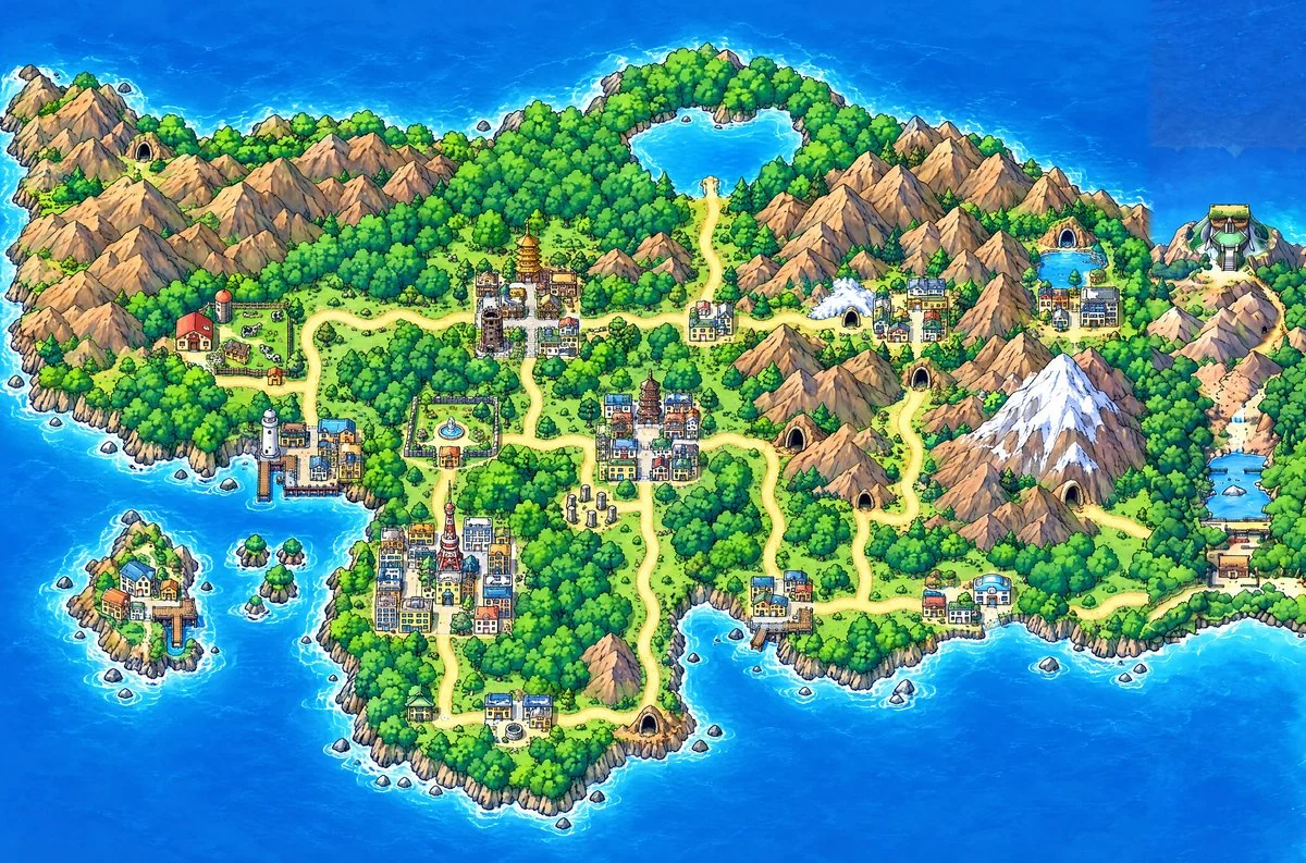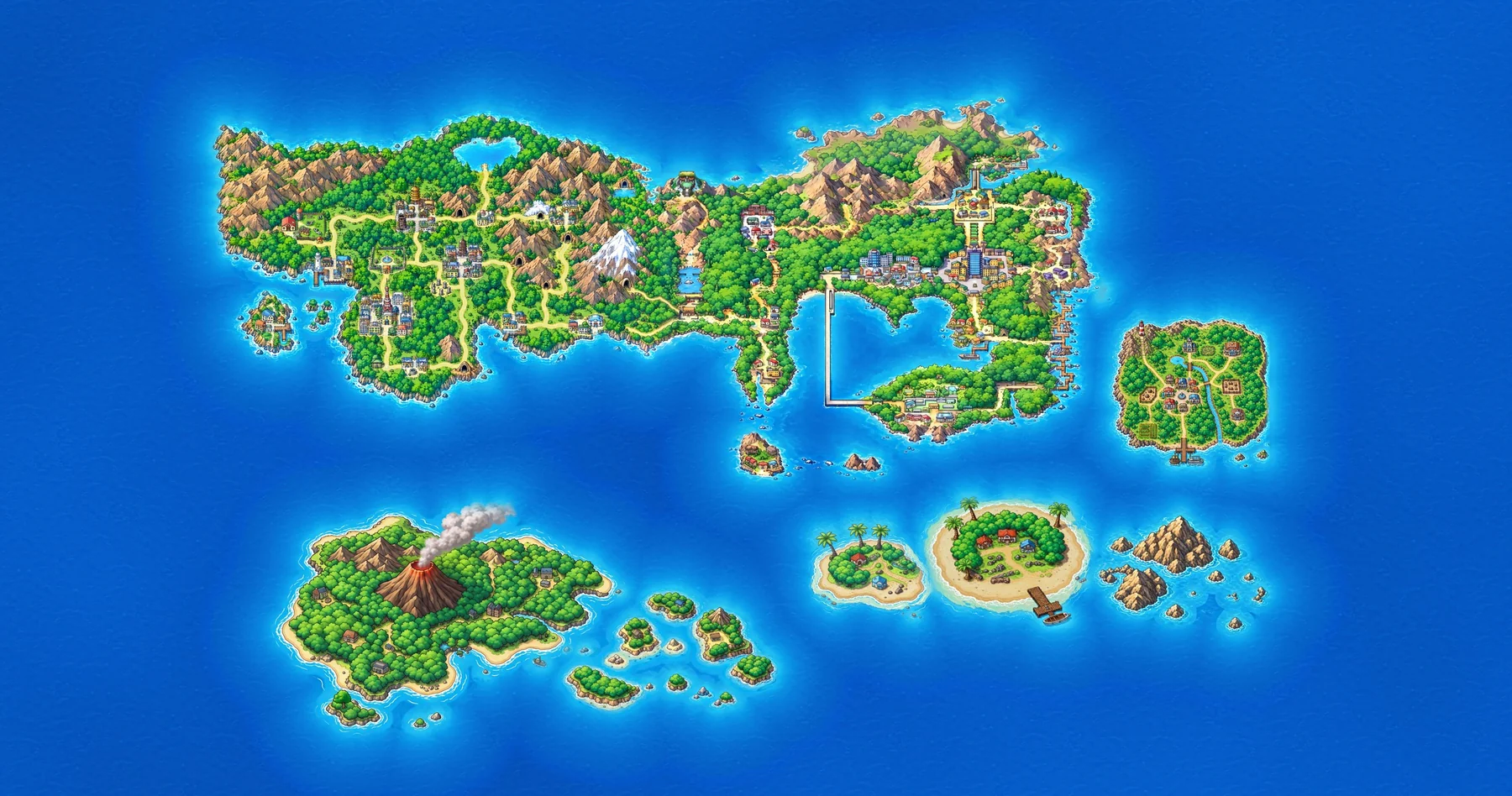
A world map for a Pokémon game João and his friends are making: Kanto, Johto and six more islands on one sea, 15,278 × 8,052 px. Kanto already existed as finished art. The rest had to be drawn by image models in the same style, and a map that size drawn as one image comes out blurry.
What it is
- One image per island, generated whole, cut out and placed on an endless sea, so every island keeps its detail.
- An editor in the browser to place, swap, compare and fix islands. Its masked edits change one spot and leave the rest of the map exactly as it was.
- A render engine that exports the whole map in about five seconds.
Johto, the hardest island, was finally drawn in a single call by GPT Image 2.5, then corrected with masked edits until its towns, routes and caves matched the original Gold/Silver map.
How it was built
Python, NumPy and OpenCV for the engine, WebGL2 for the editor, GPT Image and Nano Banana for the art. Claude wrote the code. João set the direction, judged every image and decided what to keep.
What it taught
I learned that I should have not over engineer the tool, keep it simple and minimal, so that does not end up like the editor full of features that I don’t use
Status
Active. Johto is drawn and joined to Kanto. Closed source.